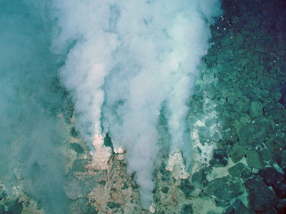
New maps have recently unveiled a concealed hydrothermal system beneath Lake Rotorua in New Zealand, adding an intriguing dimension to the location known for its historical significance and natural beauty.
Lake Rotorua’s Background
- Geographical Setting: Located at the heart of a massive ancient crater from a dormant volcano on New Zealand’s North Island.
- Historical Significance: Famous for a Māori love story where a chief’s daughter swam across the lake to be with her forbidden love, a young warrior.
Hydrothermal Activity in Rotorua
- Tourist Attraction: Well-known for hydrothermal activity, with steam clouds drifting around the lake’s shore and sulfur imparting a “magical green-blue” color to the water.
- Research Focus: GNS Science, a New Zealand research institute, delves into the hydrothermal aspects of Lake Rotorua.
Detailed Mapping by GNS Science
- Mapping Coverage: The newly revealed maps cover 21 square miles (55 square kilometers), representing approximately 68% of the lake’s floor.
- Data Collection: Utilized multibeam echo sounder (sonar) and magnetic surveys for mapping lake floor features.
- Surprising Discovery: Identification of eruption craters, an ancient river, and a large magnetic anomaly in the southern part of the lake.
Magnetic Anomalies and Hydrothermal Processes
- Negative Magnetic Anomaly: Unusual findings due to low magnetic susceptibilities, likely caused by hydrothermal fluids transforming magnetite into pyrite (fool’s gold).
- Magnetometer Surveys: Revealed unexpected negative anomalies, contradicting the usual positive anomalies associated with volcanic rocks.
Evidence of Hydrothermal Activity
- Heat Flow Map: Indicates the presence of rising heat (probably hot water) from beneath the lake floor.
- Eruption Craters: Visible craters in the same region, likely resulting from hydrothermal activity.
Temperature Dynamics of Lake Rotorua
- Water Temperature: Despite significant hydrothermal activity, water temperatures near the lake bottom remain cool at around 57 degrees Fahrenheit (14 degrees Celsius).
- Temperature Stability: Due to the lake’s size, there’s sufficient cool water to offset heat from below, resulting in minimal temperature fluctuations.
Scientist’s Perspective
- Analogy by Cornel de Ronde: Describes the experience of seeing the maps as akin to wearing glasses for the first time, providing clarity to previously unseen details.
Multiple Choice Questions (MCQs):
- Where is Lake Rotorua located?
- a) South Island, New Zealand
- b) North Island, New Zealand
- c) Australia
- d) Antarctica
- Answer: b) North Island, New Zealand
- What historical event is associated with Lake Rotorua?
- a) Ancient battle
- b) Māori love story
- c) Volcanic eruption
- d) Meteor impact
- Answer: b) Māori love story
- What percentage of Lake Rotorua’s floor is covered by the new maps?
- a) 40%
- b) 55%
- c) 68%
- d) 75%
- Answer: c) 68%
- What technology was primarily used for mapping the lake floor?
- a) Radar
- b) Sonar
- c) Lidar
- d) Infrared imaging
- Answer: b) Sonar
- What mineral is believed to have transformed into fool’s gold due to hydrothermal processes in Lake Rotorua?
- a) Quartz
- b) Magnetite
- c) Pyrite
- d) Sulfur
- Answer: c) Pyrite
- What is the likely cause of the negative magnetic anomalies discovered in Lake Rotorua?
- a) High magnetic susceptibilities
- b) Volcanic rocks
- c) Hydrothermal fluids transforming magnetite
- d) Multibeam echo sounder interference
- Answer: c) Hydrothermal fluids transforming magnetite
- What does the heat flow map indicate in Lake Rotorua?
- a) Cooling trend
- b) Presence of hot water rising from beneath
- c) Absence of hydrothermal activity
- d) Geological faults
- Answer: b) Presence of hot water rising from beneath
