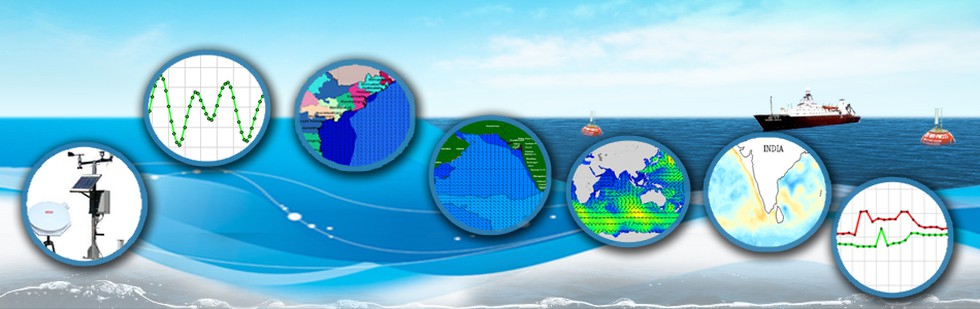
In a remarkable feat of oceanographic research, scientists at the Indian National Centre for Ocean Information Services (INCOIS) have meticulously mapped the Indian Ocean floor. This achievement marks a significant advancement in understanding the dynamics of one of the world’s most crucial oceanic regions.
Importance of Mapping
The Indian Ocean, covering a vast expanse and playing a pivotal role in the Earth’s climate system, has been a subject of scientific interest for decades. Comprehensive knowledge of its bathymetry is essential for various purposes such as weather prediction, marine navigation, and resource management.
Methodology
The mapping project employed cutting-edge technology including satellite data, sonar technology, and computational modeling. These tools enabled the creation of a detailed atlas offering insights into the complex terrain of the Indian Ocean floor.
Key Findings
The newly unveiled map reveals previously unknown features such as underwater mountain ranges and deep-sea trenches. These geological formations significantly influence the region’s ocean currents, shedding light on the intricate dynamics of the Indian Ocean.
Significance
Dr. Ananya Sharma, the lead researcher, emphasized the significance of this achievement in advancing oceanographic research. Understanding the topography of the Indian Ocean floor provides valuable insights into the forces driving its currents, with implications for climate dynamics.
Implications
The detailed map holds implications beyond scientific discovery. It enhances the accuracy of climate models, aiding in predicting phenomena like El Niño and monsoon patterns. Moreover, it facilitates safer navigation for maritime vessels and supports sustainable management of marine ecosystems.
Conclusion
The INCOIS map of the Indian Ocean floor stands as a testament to the power of scientific collaboration and innovation. By unraveling the mysteries of the ocean’s depths, it opens new avenues for understanding and managing Earth’s complex oceanic systems.
Multiple Choice Questions (MCQs):
- What is the primary focus of the INCOIS mapping project?
- A) Atlantic Ocean currents
- B) Indian Ocean floor
- C) Pacific Ocean bathymetry
- D) Arctic Ocean geological features
- Answer: B) Indian Ocean floor
- Which technology was NOT utilized in the mapping of the Indian Ocean floor?
- A) Satellite data
- B) Sonar technology
- C) Radar imaging
- D) Computational modeling
- Answer: C) Radar imaging
- According to Dr. Ananya Sharma, what is the significance of mapping the Indian Ocean floor?
- A) Enhancing maritime trade routes
- B) Understanding climate dynamics
- C) Predicting volcanic eruptions
- D) Monitoring space debris
- Answer: B) Understanding climate dynamics
- What implications does the detailed map hold beyond scientific discovery?
- A) Improving smartphone technology
- B) Facilitating international diplomacy
- C) Aiding in predicting weather phenomena
- D) Enhancing agricultural productivity
- Answer: C) Aiding in predicting weather phenomena