Indian National Centre for Ocean Information Services (INCOIS) and Indian Space Research Organisation (ISRO) Collaboration.
Background:
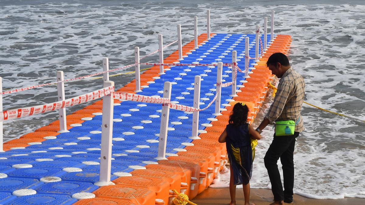
- Rip currents are hazardous coastal phenomena.
- Lack of studies on rip currents off the Indian coast.
- Importance of continuous monitoring for beachgoer safety.
Research Methodology:
- Preliminary Study:
- Experimentation at Visakhapatnam beaches, especially RK beach.
- Identification and continuous monitoring of rip channels.
- Implementation of Coastal Video Surveillance:
- Utilizing an open-source Quantitative Coastal Imaging Toolbox (QCIT).
- Collection of video data from temporary cameras.
- Data Processing:
- Pre-processing of video data.
- Camera calibration and rectification.
Findings:
- Rectification Products:
- Includes single-image products such as ‘Timex’ and pixel instruments.
- Analysis of intensity variations in rectified frames.
- Identification of Rip Channels:
- Detection of persistent gaps in wave-breaking events.
- Accurate mapping of rip channels using high-resolution satellite images.
Potential Applications:
- Continuous monitoring of rip currents.
- Parameters for consideration: alongshore currents, shoreline mapping, wave run-up, nearshore bathymetry.
- Implementation of numerical modeling for enhanced predictions.
Recognition:
- Research Paper: “Identifying rip channels along the RK beach in Visakhapatnam using video and satellite imagery analysis.”
- Award: Best paper award for 2022 from the Journal of Indian Society of Remote Sensing.
Multiple Choice Questions (MCQs):
- What is the primary objective of the collaboration between INCOIS and ISRO?
- a) To study marine biodiversity
- b) To monitor and issue operational forecast alerts of rip currents
- c) To explore extraterrestrial life
- d) To study climate change
- Which beach was the focus of the preliminary experimental study?
- a) Goa beach
- b) RK beach, Visakhapatnam
- c) Marina Beach, Chennai
- d) Juhu Beach, Mumbai
- What tool was utilized for processing video data in the study?
- a) Adobe Photoshop
- b) Quantitative Coastal Imaging Toolbox (QCIT)
- c) Microsoft Excel
- d) AutoCAD
- What are ‘Timex’ images used for in the study?
- a) Calculating wave heights
- b) Detecting rip channels
- c) Identifying marine species
- d) Mapping coastal vegetation
- What was the recognition received for the research paper based on this study?
- a) Nobel Prize in Physics
- b) Pulitzer Prize for Journalism
- c) Best paper award from the Journal of Indian Society of Remote Sensing
- d) Grammy Award for Best Music Video